Capture and Validate
Turn surface and subsurface environments into validated, decision-ready spatial intelligence — so your teams act on ground truth, not assumptions
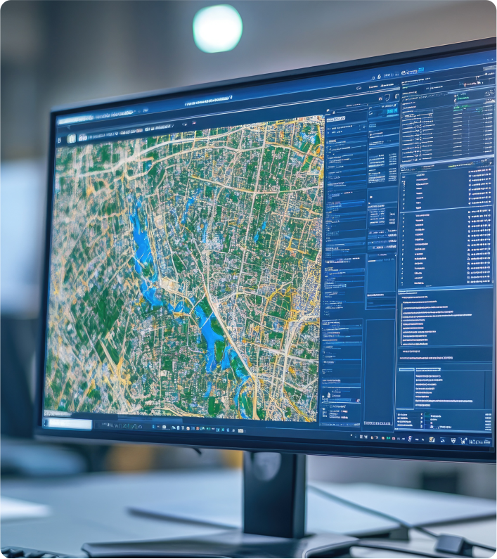
Model and Unify
Turn surface and subsurface environments into validated, decision-ready spatial intelligence — so your teams act on ground truth, not assumptions
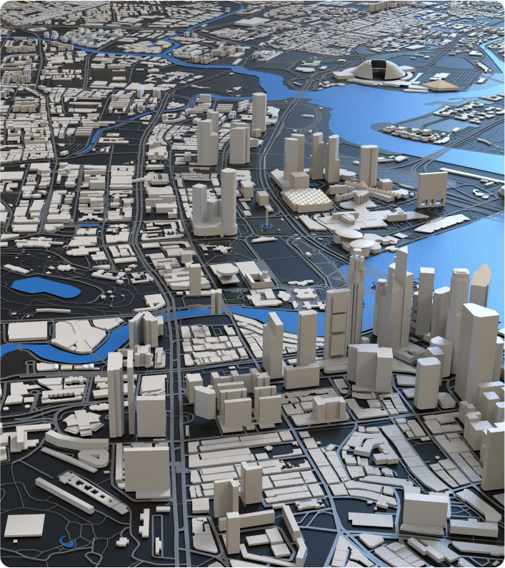
Visualise and Simulate
A live, persistent 3D twin of your project environment — surface, subsurface and location data unified in one real-time view for planning and decisions.
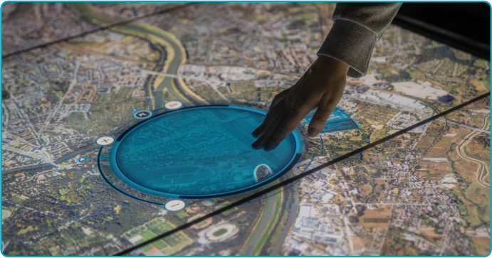
Reason and Act
Ask complex spatial questions in plain language. Our AI agents deliver grounded, explainable answers and better-informed decisions.
Sovereign and Secure
A pre-configured, cloud-enabled platform that scales with your needs — keeping your environment sovereign, secure, governed and current.